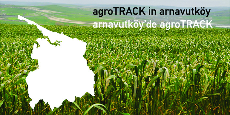
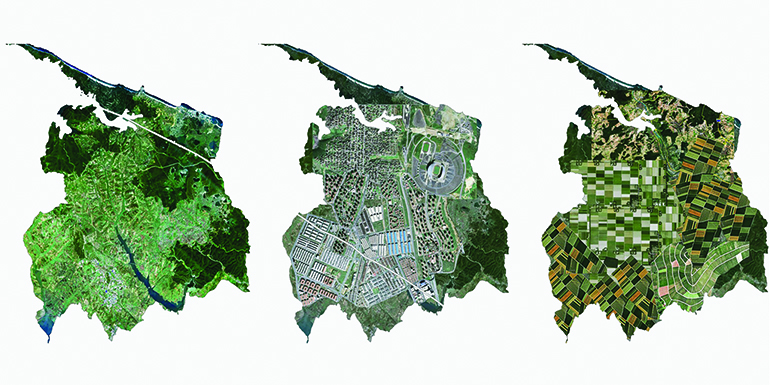
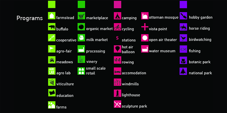
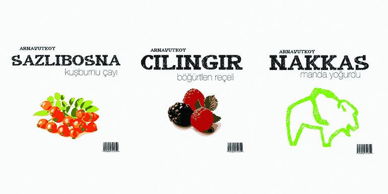
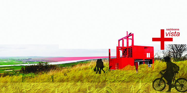
The second largest district in İstanbul, Arnavutköy, is a vast region to the north of the European Side, spanning from the water basins to the shores of the Black Sea. Arnavutköy contains 12 villages in which the main source of income is agriculture & cattle dealing and all under the pressure of urbanization. On one side; the prohibitions enforced by ISKI, on the other; agricultural policies, lack of information & funding, competition & land distribution, created a very tough situation for the agricultural activities in the region. Most of the young population migrated to the city due to lack of income through agricultural activities and left behind a relatively older population. As the water basins are definitely not suitable for urbanization, it is not known what these vast areas are going to transform into once agriculture is completely vanished. The studio focused on the problems of agriculture and urbanization of the area. As a total agricultural revolution cannot be proposed, the problem is based on the product and communication. As we go through the examples, we observed that the better geographical networks manage the tourism and inter-village synergies, more they support agricultural activities. Thus, we proposed a similar network for Arnavutköy. We designed recreative routes based on an agricultural theme specifically for the residents of İstanbul, and created their visual and experiential counterparts. In this sense, our productions forced the boundaries of architectural discipline and created a zone where research and design blend into one another.